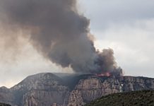
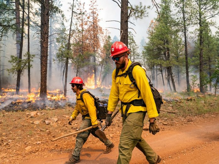
The Rafael Fire has grown to nearly 80,000 acres is almost 60% contains on the north, southwest and east, where the fire perimeter has reached the western perimeter of the 2014 Slide Fire.
The next scheduled virtual community meeting will be Wednesday, June 30 at 6 p.m. on the Incident Facebook page: https://www.facebook.com/RafaelFireInfo/
Acres: 78,708
Percent Containment: 59%
Detected: Friday, June 18, at 7:27 p.m.
Structures Damaged/Destroyed: 0
Number of Personnel: 596
Cause: Lightning
Origin/Location: 4 miles north of Perkinsville
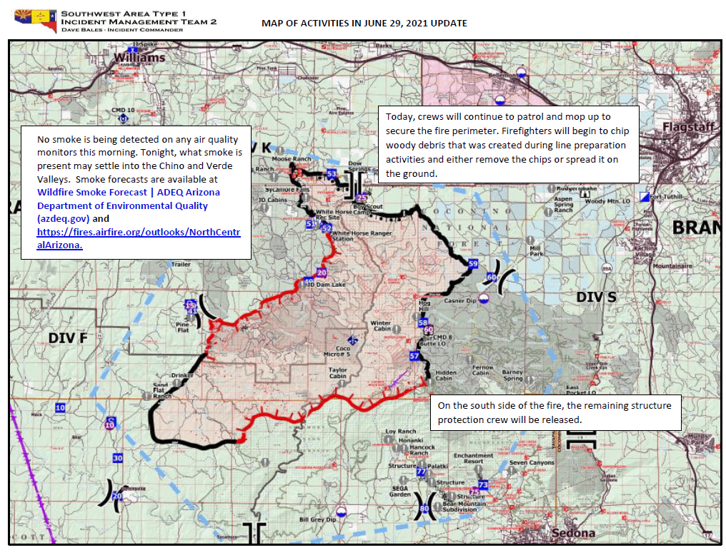
No smoke is being detected on any air quality monitors this morning. Tonight, what smoke is present may settle into the Chino and Verde Valleys. Smoke forecasts are available at Arizona Department of Environmental Quality (azdeq.gov) and https://fires.airfire.org/outlooks/NorthCentralArizona.
Today, crews will continue to patrol and mop up to secure the fire perimeter. Firefighters will begin to chip woody debris that was created during line preparation activities and either remove the chips or spread it on the ground. Smoke from burning interior fuels will continue to be visible for a few days.
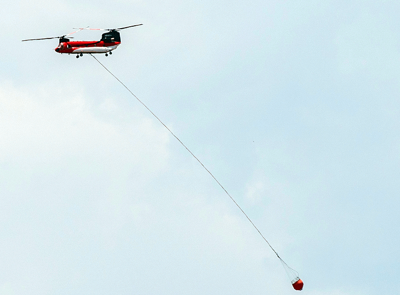
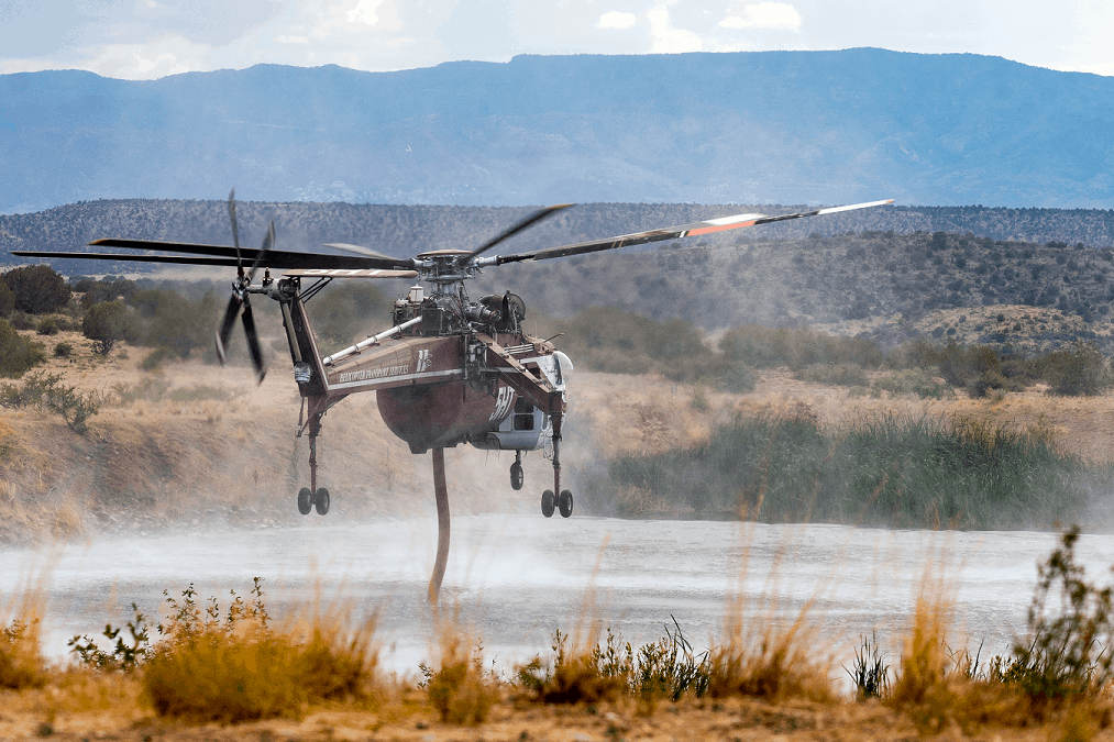
On the south side of the fire the remaining structure protection crew will be released. Thunderstorms and possible rain are predicted for this afternoon. Firefighters around the fire are prepared to take suppression action on any new ignitions resulting from lightning strikes. The process of demobilizing Crews and equipment will continue.
Unmanned aerial vehicles (drones) were used for multiple operations on the Rafael Fire. These operations are coordinated with other aerial operations within the Temporary Flight Restriction for the Rafael Fire to keep all operations safe. Wildfires are no place for recreational drones—they put firefighters and aircraft personnel at risk and will shut down aircraft operations, hampering firefighting as well as firefighter safety. Remember if you fly, we can’t.
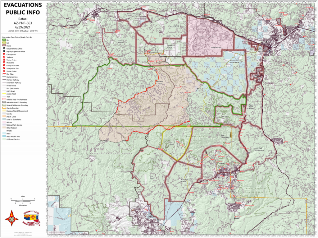
Evacuation status as of 6 a.m. June 29 (Notifications are in place until status is rescinded or changed by each respective
County Sheriff’sOffice):
“GO” in Coconino County Sycamore Canyon.
“SET” – In Yavapai County, Loy Ranch
“READY” -– in Coconino County, Garland Prairie South and Garland Prairie North, South of Williams, Sherwood Forest, Camp Navajo, West of I-17 south of 1-40, Westwood Estates, Flagstaff Ranch (including W.L. Gore), Mountain Dell, Pine Del, Forest Highlands, Kachina Village, University Heights, Equestrian Estates, Upper Oak Creek Canyon, West Fork, Lower Oak Creek Canyon, and in Yavapai County, Grey Ranch, Windmill Ranch, Bear Mountain and Sedona.
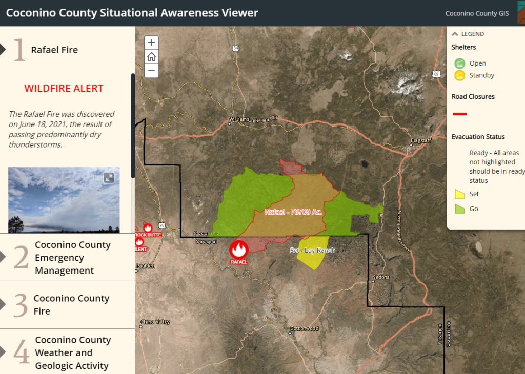
Information about evacuation status can be found on the Coconino County Facebook page at: https://www.facebook.com/CoconinoCounty and at the Yavapai County Sheriff’s Department Facebook page at: https://www.facebook.com/YavapaiCountySheriff/

Outlook
Planned Actions
Southwest/West, North and East sides: Continue to mop-up, hold, and patrol to ensure fire stays within containment lines. Remove hazard trees as needed.
Southeast portion of the fire: Address pockets of heat along the fire perimeter. Keep resources positioned to protect values at risk should the fire progress south towards Sedona.
Projected Incident Activity
Next 12 hours operational period:
(Monday night) Dry thunderstorms are possible into the late evening hours.
Crews were able to complete burnout operations from JD Dam Lake west, approx. 8 miles, to cold black near Wagner Hill. During this 12 hour period interior unburned islands will continue to burn out throughout the northern 1/3 of the fire perimeter. Fire below the rims of Tule and Sycamore Canyons will continue to grow along the base of the canyons.
Operations- North and east side (Divisions N & S): Continue to secure the edge, mop-up, and remove hazard trees as needed to keep the fire within containment lines and provide for safe work conditions.
North & west side (Divisions K & H): Recheck spots across the line from previous shift’s burnout operation from JD Dam Lake west to cold black within the fire area near Wagner Hill. Use the Cobra helicopter and an unmanned drone with IR capabilities to monitor for heat near the perimeter. Deepen the burnout towards the main fire. Secure edge, hold, mop-up and remove hazard trees.
Southeast portion (Divisions V & Y): Address pockets of heat along the fire perimeter. Keep resources positioned to protect values at risk should the fire progress south towards Sedona. Western portion (Division B & F): Monitor fire activity and recheck hotspots near the perimeter.
Next 24 hours operational period:
(Tuesday and Tuesday night) Chance of wet thunderstorms all day. Cooler temperatures and very high humidity.
Winds are expected to switch to a mainly westerly direction along with higher minimum relative humidity, widespread cloud cover, and increased chances of precipitation. Interior islands will continue to burn out, but fire activity will be suppressed significantly. However, increased lightning potential is forecast (LAL-4) and fuels are extremely available as the drought is ongoing, so initial attack is a definite possibility.
Operations- Southwest/West, North and East sides: Continue to mop-up, hold, and patrol to ensure fire stays within containment lines. Remove hazard trees as needed.
Southeast portion of the fire: Address pockets of heat along the fire perimeter. Keep resources positioned to protect values at risk should the fire progress south towards Sedona.
Next 48 hours operational period:
(Wednesday and Wednesday night) Chance of wet thunderstorms. Gusts to 50 mph are possible. Continued high humidity.
Chances of precipitation and minimum humidity well above moisture of extinction are likely to contribute to minimal fire activity throughout the fire area with the exception of smoldering in sheltered duff and within large diameter fuels. The potential for lightning is elevated again and fuels will take significant sustained precipitation (amount and duration) to become less receptive to rapid ignition. Operations will be similar to above with mop-up, hold, patrol and remove hazard trees as needed.
Next 72 hours operational period:
(Thursday and Thursday night) Wet thunderstorms likely.
70% chance of precipitation and minimum humidity well above moisture of extinction equates to continued minimal active fire behavior. The potential for lightning is predicted to be elevated again and the larger diameter fuels surrounding the fire area remain very dry and receptive to ignition, so the potential for initial attack remains elevated.
Operations will be similar to above with mop-up, hold, patrol and remove hazard trees as needed.

Anticipated after 72 hours:
The forecast after Thursday night has a high degree of uncertainty, except that some level of thunderstorm activity is still expected. Wind also appears to stay relatively light, outside of thunderstorm outflows.
One more day of increased chances of precipitation and elevated humidity along with low wind speeds indicates a third straight day of reduced fire behavior.
Operations- Similar to above. Mop-up, hold and patrol containment lines, monitor fire activity and provide point protection for values at risk as necessary.


