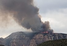
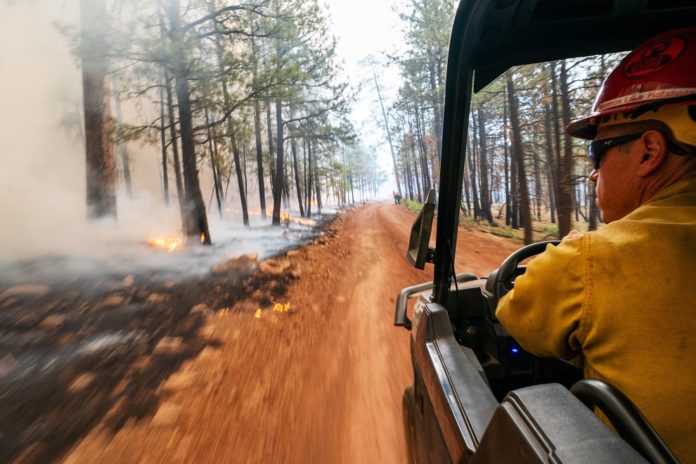
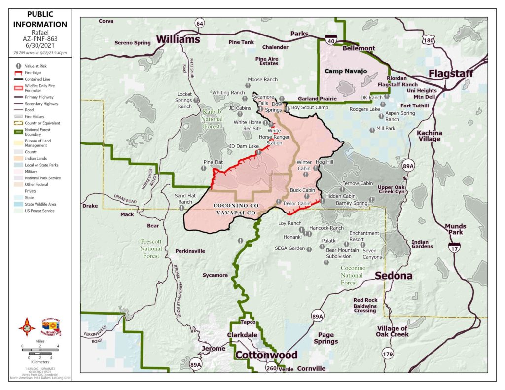
The Rafael Fire has largely been contained and burning within the current acreage. No measurable growth in the fire since yesterday except for along Lonesome Pocket Road and Forest Road 105 on the west side of the burn area.
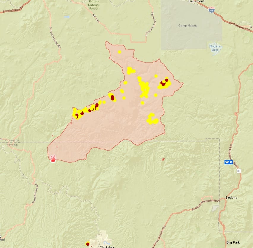
Acres: 78,709
Percent Containment: 72%
Detected: Friday, June 18, at 7:27 p.m.
Structures Damaged/Destroyed: 1
Number of Personnel: 542
Cause: Lightning
Origin/Location: 4 miles north of Perkinsville
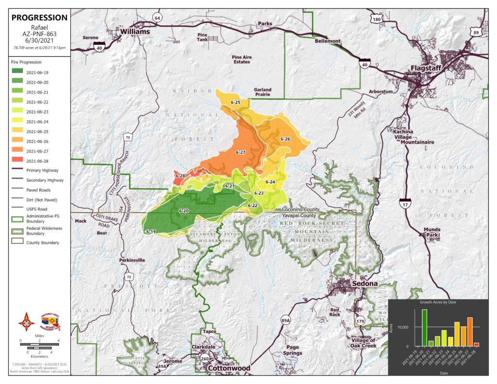
Yesterday hand crews, with the aid of bucket drops from helicopters, worked in the Mooney Canyon area on a hot spot. Crews continued mop up, patrol and suppression repair activities. Fairly heavy rain fell in the area of Whiting Ranch yesterday afternoon, and a flash flood warning was issued for Sycamore canyon — no flooding was reported. Thunderstorms and possible rain are predicted for this afternoon, with outflow winds of up to 50 mph possible.
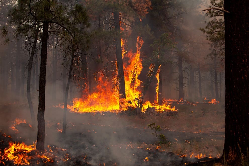
Firefighters around the fire are prepared to take suppression action on any new ignitions resulting from lightning strikes. Today, crews will continue to patrol and mop up around the fire to secure the perimeter.
Chipping of woody debris will continue along several portions of the perimeter, and an excavator will be engaged in suppression repair in the area around the Loy Ranch.
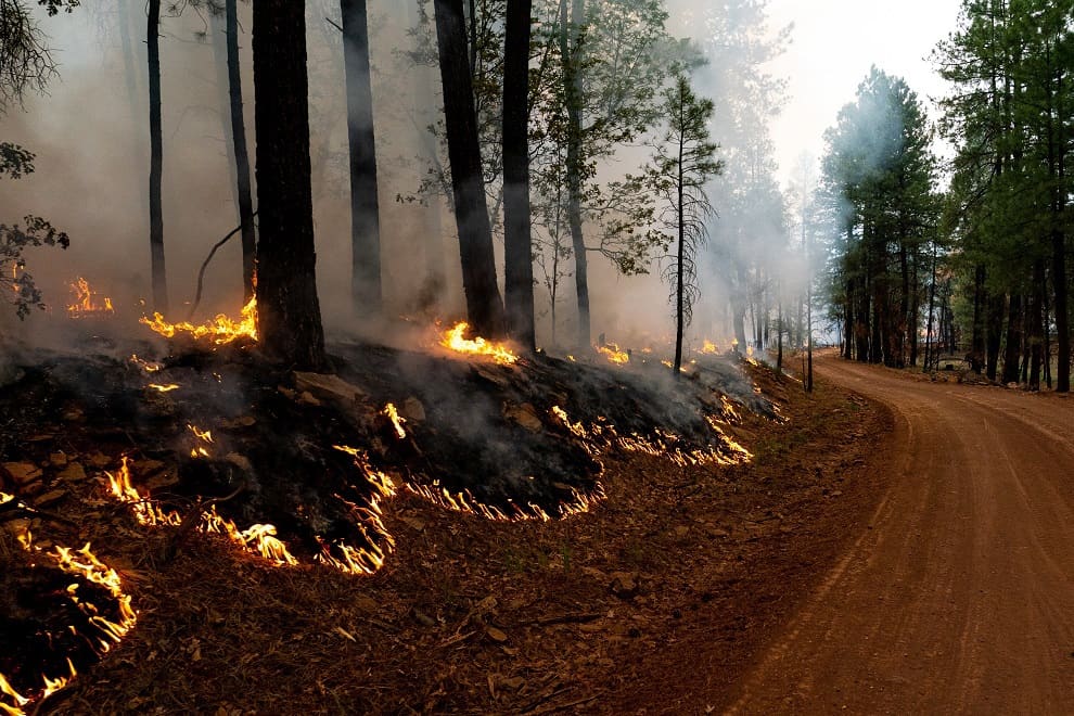
Smoke from burning interior fuels will continue to be visible for a few more days. The process of demobilizing Crews and equipment will continue.
There are no longer any communities or areas under “GO” evacuation status. However, all areas within the Coconino, Kaibab, and Prescott National Forests remain closed to entry, regardless of evacuation status.

Evacuation statusas of 6 a.m. June 30. Notifications are in place until status is rescinded or changed by each respective sheriff’s office:
“GO”- None
“SET” – In Yavapai County, Loy Ranch, Coconino County Sycamore Canyon
“READY” -– in Coconino County, Garland Prairie South and Garland Prairie North, South of Williams, Sherwood Forest, Camp Navajo, West of I-17 south of 1-40, Westwood Estates, Flagstaff Ranch (including W.L. Gore), Mountain Dell, Pine Del, Forest Highlands, Kachina Village, University Heights, Equestrian Estates, Upper Oak Creek Canyon, West Fork, Lower Oak Creek Canyon, and in Yavapai County, Grey Ranch, Windmill Ranch, Bear Mountain and Sedona.
Information about evacuation status can be found on the Coconino County Facebook page at: https://www.facebook.com/CoconinoCounty and at the Yavapai County Sheriff’s Department Facebook page at: https://www.facebook.com/YavapaiCountySheriff/


