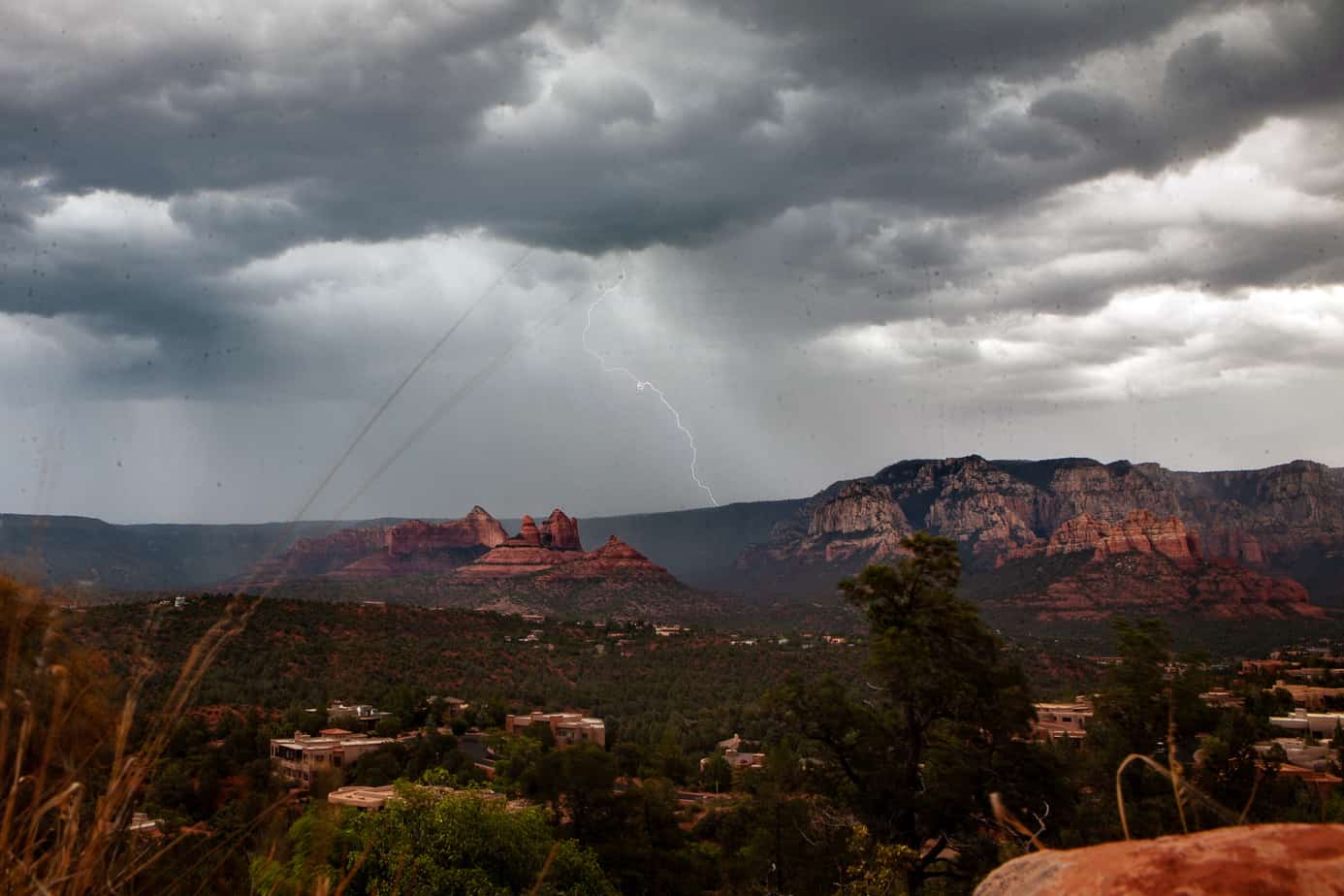
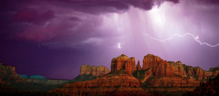
In July, just as the desert heat reaches its dry sweltering apex, the Verde Valley is hit by the familiar onslaught of the monsoon. The normally blue Arizona sky is often covered with dark oppressive clouds, which break open in the afternoon for a short but brutal downpour.
Monsoon thunderstorms are an expected part of living in Arizona, but like with most weather phenomena, many of the people who experience them regularly do not understand the scientific explanation for why the dry and hot desert is transformed in the middle of summer into a wet and rainy climate.
The water that falls upon the Verde Valley does not start in Arizona. It originates in the Gulf of California, the long narrow sea south of Mexico also known as the Sea of Cortez. Unlike the Pacific Ocean that stays cold all year round, the ocean water in the Gulf of California sees its temperature increase heavily in the summer months — up to 29 degrees Celsius or more than 80 degrees Fahrenheit. The warm water evaporates and the air near the ocean becomes warm, moist and heavy.
Meanwhile, north of and east of the gulf, in Mexico, Arizona and New Mexico, the sun beats down on the desert, leading to warm, dry air and lower surface pressure. Air seeks to travel from high pressure to low pressure, so moisture travels from the higher pressure over the gulf in the south up north to the deserts of Arizona and New Mexico.
“If you take a real thin pan of water and just heat up one side — you’ll see the water starts to circulate in the direction of where you’re heating,” said David K. Adams, a research professor at the Center for Atmospheric Sciences at the Universidad Nacional Autónoma de México, in affiliation with the Department of Hydrology and Atmospheric Sciences at University of Arizona.
“Those small differences in temperature make differences in density and then those differences in density make the pressure gradient,” Adams said. “And it’s really the pressure gradients — going from high pressure to low pressure that drives the moist air in towards the inland areas.”
The real bulk of the moisture from the Gulf of California ends up in the mountains of northwestern Mexico and the region gets hit with heavy rainfall. According to David Mitchell at the Desert Research Institute in Nevada, Northwestern Mexico can receive 60 to 80 percent of its annual precipitation due to the monsoon, whereas Arizona and New Mexico get closer to 35 percent.
But the relatively low land north of Mexico allows the moisture to travel easily northward, following the pressure changes without getting stopped by a mountain range the way that the Sierra Nevada range stops weather systems from the Pacific Ocean from making it to Arizona during the rest of the year.
Once the moisture is here, it’s the mountains surrounding the Verde Valley that allow for the lingering moisture to turn into the signature torrential downpours that residents have come to expect.
“You’ll see that the clouds always form first over the mountains and over the valleys it’s relatively clear,” Adams said.
“You’ve got this big blob of earth that sticks out into the atmosphere and you heat it up with the sun so it’s much hotter relative to the air around it and so it creates one of these low pressures again and the air is drawn towards it. You can kind of think of the mountain acting as a magnet for that moisture.”
This year’s monsoon was slow to start, as the National Weather Service first predicted back in June. The first monsoon storm to reach Arizona in July came on July 22, the latest recorded rainfall in the month since 1896.
Jon Hecht can be reached at 634-8551 or email jhecht@larsonnewspapers.


