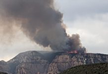
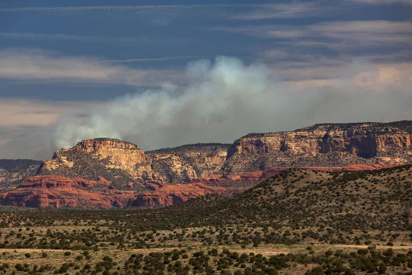
Firefighters have completed crucial burnout operations on the 3,279-acre Saber Fire, and have established defensible space around Turkey Butte Lookout and Arizona Public Service high-voltage powerlines. The burnouts will protect these important structures from severe wildfires in the future, as well as establish control lines around the predetermined fire perimeter. A Type 3 Incident Management Team, lead by Chad Rice, will allow the fire to move naturally across the landscape within a predetermined 12,495-acre planning area
The fire may not move across the entire planning area and the edges of the fire may be suppressed to protect infrastructure and other values at risk. Temporary closure established for the fire.
 Fire managers are pleased with the post-fire effects resulting from the natural progression of the fire moving across the landscape as it has reduced the accumulation of excess fuels on the forest floor while replenishing nutrients back into the soil.
Smoke can be expected from the Saber Fire until the area receives moisture.
The fire will continue to consume pockets of previously unburned forest fuels well within the established fire boundary. Local crews will continue to patrol and monitor the fire’s progression.
The public should use caution when recreating or hunting near the fire area due to hazardous fire-weakened trees, burning stump holes and fire personnel working in the area.
Updates about the Saber Fire can be found on https://inciweb.nwcg.gov/incident/6519/.
Follow the Coconino National Forest’s social media sites, such as Twitter and Facebook, to get timely updates on this fire, other incidents, and forest-wide activities.
SABER FIRE OVERVIEW
- Discovery date: Aug. 2.
- Cause: Lightning.
- Containment: 32 percent.
- Origin location: Approximately 1.5 miles south of Turkey Butte lookout tower (Latitude/Longitude: 35.011°N, 111.901W).
- Current size: 3,279 acres.
- Current resources: 4 engines, 2 crews, a dozer and overhead personnel. Total approx. personnel: 75.
- Predicted smoke impacts: Expect smoke production to increase over the next few days. Significant smoke may impact forest roads south of Flagstaff and west of I-17. The smoke will be visible from Flagstaff, motorists in the area along I-17, I-40 and SR 89A. Smoke will likely impact areas of Oak Creek Canyon and Sedona communities during cooler evening hours.
- Current closures: There is a closure around the Saber Fire area.


