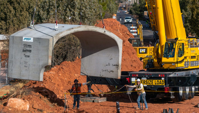
The city of Sedona is continuing to update a stormwater plan that was approved more than a decade and a half ago.
The Sedona City Council approved the second phase of the city’s Stormwater Master Plan Update on June 22, which supersedes the 2005 Stormwater Master Plan. They also have approval of a contract for the third and final phase of the update with JE Fuller Inc. in an amount not to exceed $177,623.40.
The scope of work for the third phase of the plan update includes public outreach, hydraulic analysis, floodplain/floodway maps, flood profiles, floodway data tables, and determining 100-year storm event water surface elevations.
“I’ve noticed that this city is a frontrunner in getting ahead of these kinds of stormwater problems and I’ve been impressed with the number of projects you guys have completed,” said Rob Lyons, an engineer with JE Fuller Inc. “You’ll see, as we move forward, there’s not that many stormwater problem areas left. That’s good.”
The existing Stormwater Master Plan for the city was developed by Dibble and Associates. Many of those capital improvement drainage projects identified 16 years ago have been completed, according to a city report.
Two years ago, the city began an update of the plan that included looking at facility improvements and priorities. This also accounted for the infrastructure completed since the 2005 plan was complete and “included a robust public outreach to identify new problem areas.”
The current scope of work to take place will be to complete the third phase of the plan to include remapping of the local [non-FEMA] floodplains reduced by previous storm drainage improvement projects. The city’s existing floodplain maps and data are from a 1994 Floodplain Management Study that was completed by the Soil Conservation Service.
“It is imperative for the city to have accurate information regarding its local floodplains because the information is used to regulate private development and improvements within those floodplains,” the report states.
As an example, it says for a new home to be built within, or partially within, a floodplain, the lowest finished floor of the structure needs to be elevated to a height at or above the 100-year base flood elevation. Further engineering analysis is required if part of the structure infringes on the floodway.


