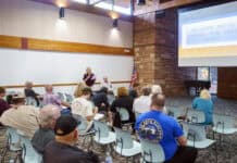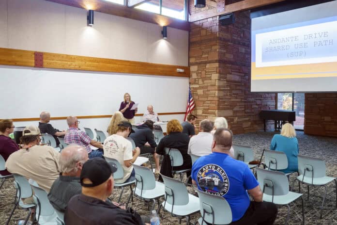
Twenty-three Andante Drive residents led by Terry and Duane Gregory met informally with Mayor Scott Jablow and City Councilwomen Melissa Dunn, Kathy Kinsella and Councilman Derek Pfaff at the Community Library Sedona on April 11 to discuss the city’s proposed shared use path.
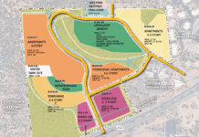
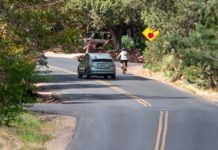
The path is planned to run along the west side of Andante from State Route 89A, cross Andante Drive via a raised crosswalk at Allegro and Lyric drives and continue north along the east side of Andante to Thunder Mountain Road. Council is scheduled to vote on the $3 million contract with Prescott-based Pronghorn Services LLC to construct the proposal on Tuesday, April 22.
“Andante Drive was chosen as the alignment because it is the main thoroughfare between SR 89A and Thunder Mountain Road,” a city FAQ document about the project stated. “Based on our survey, it was also shown to be the main route for pedestrians and vehicles in the area. It is in close proximity to bus stops and businesses along 89A.”
City staff have stated that reviews of the proposal by the Sedona Fire District and Sedona Police Department showed it will not delay emergency response and the road will remain 24 feet wide.
The project includes an additional speed hump to reduce vehicle speeds. Sixteen Andante Drive households had signed a petition circulating at the meeting to “request the city of Sedona to pause the start of the Andante Drive Shared Used [sic] Path. The community has serious concerns regarding public safety of the current SUP design and request that the city of Sedona to have another independent firm redesign the project for public safety.”
Residents expressed concern about the potential for flooding along Andante Drive.
“Shortly after we purchased our property, our neighbors informed us that every time it rained, the water would run underneath our mobile home,” Duane Gregory said. “So we immediately put a stem wall around the house and fixed the piers underneath it. And after we just got that done, we got that 2009 flood in September, which then, if we hadn’t done our repair work, we would have lost the whole house. And from that point on, we [petitioned] the city to build a flood wall so that it would protect us as well as our neighbors’ homes [below] us.”
The design documents for the project made available on the city’s website state that the city’s floodplain mapping indicates that Andante Drive is within a 100-year floodplain “from approximately 250 feet north of Allegro Drive to SR 89A; Moonglow Drive to approximately 250 feet north of Lyric Drive.”
The Gregorys paid for the construction of a flood wall next to their home in the 500 block of Andante Drive, which they completed in 2010. The current Shared Use Path design calls for its removal, but the Gregorys have submitted six letters from Andante Drive residents to the city supporting the preservation of the wall.
“They approached the city … looking at making wall improvements in that area,” Deputy City Manager Andy Dickey subsequently said. “They were advised to get a permit, there was feedback on what would need to be included in that. And essentially, they never complied with what they were told, and their permit never was approved. … And they built it … regardless, and left it in place.”
“The city staff said that the wall is not a permitted variance and that you’ll have to remove it or we’ll have to remove it,” Jablow said during the meeting.
“There’s an inlet on the north side of Thunder Mountain Road that takes [water] that used to drain to Andante [Drive] and takes it into the storm drain system,” Dickey said.
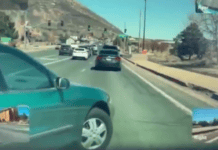
“[Our] biggest concern is that, instead of putting it down the west side of Andante Drive, they come up part way and put a crossover sidewalk across Andante Drive,”
Duane Gregory said. “We didn’t mind them crossing it over, but we felt that it was a safety issue, especially for where they put it, because of the curvature of the road and elevation.”
The city’s website states that the alignment was chosen to maximize use of the city’s existing right-of-way and reduce the need for the city to acquire additional easements from property owners, and that the crosswalk was designed to be safe by being “raised and striped with appropriate signage.”
“One of the considerations is how the new facility will match into adjacent properties, including driveways, and while you could place it on the west side, there are just a lot more conflicts that would arise on that west side in this segment of the project making the driveway, transition to the new improvements much more difficult, and it would be better on the east side to place the drainage improvements that we’re looking at,” Dickey said


