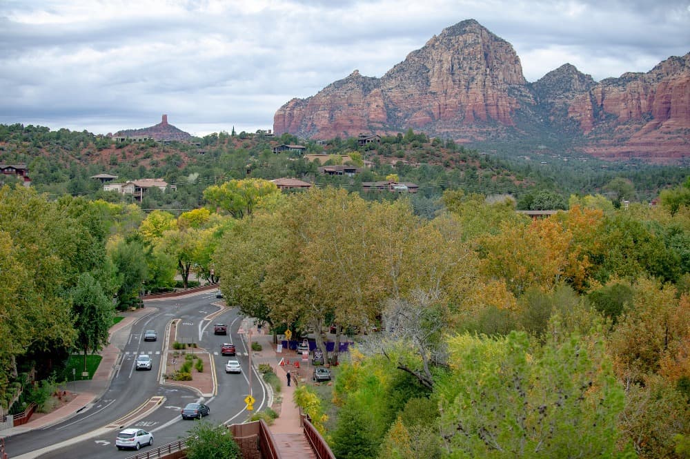
With nearly 3 million visitors a year, Sedona streets are used far more than those of most communities its size. Because of that, the city of Sedona is always trying to keep up with demand to repave those roads — 4 to 5 miles worth a year.
But now, the city will be receiving a helping hand, albeit a virtual one. The city recently hired RoadBotics Inc. to assess roadway conditions throughout Sedona thanks to the use of artificial intelligence, multimedia data and algorithms to save money and improve planning of road resurfacing. RoadBotics vehicles began moving along city streets on Wednesday, Jan. 16, with work expected to take four days to complete.
“Basically, it’s an app we’ll have on our phones with information provided by this company,” City Engineer Andy Dickey said.
“They’re going to drive all of our streets and assess them for the level of condition. It will help us to further improve our pavement program and how we prioritize our work.”
Dickey said this process will not only save staff time but is very affordable at $6,000 a year. In comparison, he said that in 1998, when he was an intern for the city, it took he and a fellow intern three months to assess all the city roads compared to what this company can do in a matter of days.
“This will provide us a much more detailed look at the condition of our roads,” he said.
“We’ll be doing this for at least the next few years and then decide if we’ll continue to need it. Until then this will help us stay on top of roads that are deteriorating at a faster rate than others. This will help us go from rehabbing our streets to preserving them.”
According to their website, RoadBotics “analyzes video data of your roads captured from the windshield of a vehicle to provide a comprehensive condition assessment of your pavement surface on an online map.”
In terms of the process, it states:
- Customer signs a contract and provides a map of their roads.
- Their team begins data collection to ensure quality and complete coverage.
- The data is then uploaded to their cloud, where their AI algorithms analyze the images to generate a map with road condition scores and images for approximately every 10-foot section.
- They will provide the login credentials to access their online tool.
“Our deep-learning algorithms allow the machine to analyze each frame in the video pixel by pixel to identify all the types of common distresses including cracks, raveling, alligator cracks and potholes,” the website states.
“It also takes crack seals, patches and joint seals into consideration.” Dickey said once they have all the data, they will continue to repave entire areas or neighborhoods. “We’re not going to be hopscotching across the city based on the information we’re provided,” he said.
“But this will help us in determining if one area needs to be completed ahead of another due to conditions.”


