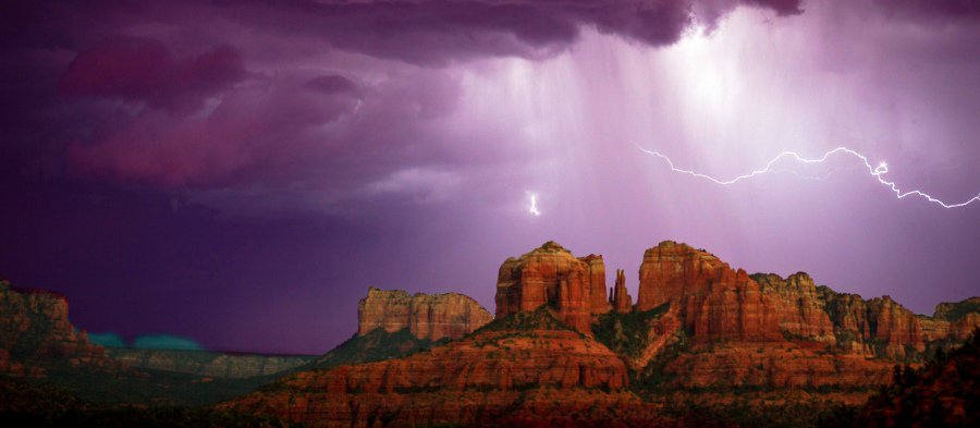
On the afternoon of Saturday, Aug. 24, something that should not be unusual happened. It finally rained. It was only the third time since the beginning of Northern Arizona’s unusually dry monsoon that rain fell. Whereas the historic average of days of measurable rain in the area is 14 between June 15 and Aug. 15, this year had only seen two, according to the National Weather Service’s Flagstaff office.
Unofficial observations reported to the office measured total precipitation in that period to be below 1.5 inches in the Verde Valley, well below the average of 3.08.
According to Nancy Selover, state climatologist with the State Climate Office and Arizona State University’s School of Geographical Sciences & Urban Planning, this makes 2019 the ninth-driest monsoon since the National Weather Service began taking regular readings in 1899.
Even with the abnormally dry summer, the past year of rainfall in the area is much closer to the norm, with a lot of rain coming in the winter. According to NWS, for the water year defined as Oct. 1 through Sept. 30, Cottonwood has received 8.47 inches of rain, 79% of the normal level of 10.67 inches. NWS described that fall as “not considered unusually dry.”
According to Selover, the high precipitation in the winter may have been a cause of the dryness currently experienced.
“A lot of people thought [monsoon] would be late and come drier and they were correct,” Selover said. “We ended up with a snowpack that lasts longer than usual, so we didn’t start heating up as early as we might. If we start heating up earlier in the year, that brings that high pressure over with it and gets it to start setting up and developing. It just lagged behind this year while we still had lots of snowpack around longer than normal.”
Usually, monsoon storms are caused by a high-pressure system in the Four Corners area, which creates a clockwise-moving weather system, pulling moisture northward from Mexico and the Gulf of California to fall on Arizona. But with the snowpack leading to cooler temperatures and not causing that high pressure system to form until later in the year, the usual weather phenomenon did not happen. Selover said that the overall result could be a monsoon that gets started late, happening all the way into September, or it could not happen at all this year, leading to the fall remaining hot and dry instead of cooling down the way it normally does.
“If we get the precipitation, that will start bringing the temperature back down to where we expect,” Selover said. “Monsoons are just a pain in the butt to try and predict.”
Selover said that the summer monsoon patterns have little impact on the precipitation in the coming winter, so there is no telling whether the dryness will continue for the next season.
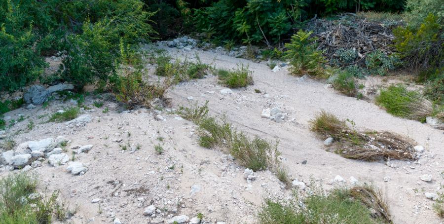
The Coconino National Forest has indicated that despite the dry heat, the area is not at any higher fire danger than normal. The Verde River, which was historically high this past winter to the point where it burst through the 105-year-old Verde River Dam in Clarkdale this spring, has fallen to unusually low levels. A measurement by the US Geological Survey on Aug. 26 found the river flowing at 29.2 cubic feet per second, well below the 41 year median 153 cfs.
“The flow is really low,” Kim Schonek of the Nature Conservancy said of the river. “This level of flow is something that we would expect in June, but without monsoons it just keeps getting hotter and hotter and there’s very little humidity.”
According to Schonek, the low river water is not causing undue hardship for the agricultural community in the area, since irrigation ditches had been dug well to deal with potential problems like these.
“The community has been implementing conservation measures,” Schonek said. “This is really when we see the benefit of the conservation we’ve all engaged in.”
Jon Hecht can be reached at 634-8551 or email jhecht@larsonnewspapers.com


