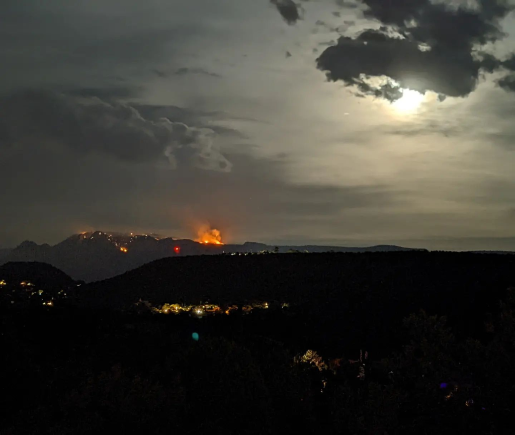
The Committee Fire burning atop Munds Mountain, as seen from West Sedona around 4:30 pm Sunday, July 17. Ash is beginning to rain in Uptown, downwind of the fire.
The Committee Fire was reported at 12:20 p.m. Friday, July 15. It is located on the back side of Munds Mountain, east of Sedona. Smoke will remain visible during suppression efforts. It was likely caused by lightning.
Helicopters will be conducting bucket drops. Resources assigned to the Committee Fire include two Type 1 helicopters, 1 Type 2 helicopter, 1 Type 3 helicopter, 1 Unmanned Aircraft System module, 1 Hotshot crew, 1 fuels crew, 1 engine. Additional resources are on order.
Hand crews will be going direct on the fire with suppression efforts. The fire is moving at a low-to-moderate rate of spread in a northerly direction. Due to steep terrain, firefighters cannot access the heel of the fire. There is a 30% chance of precipitation Sunday evening, chance of thunderstorms with erratic and unpredictable winds.
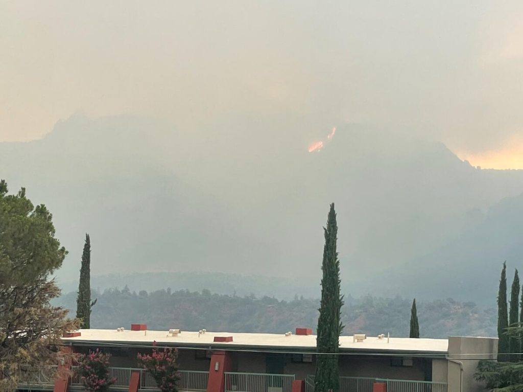
Erratic shifting winds due to thunderstorms have led to an increase in smoke and size on the Committee Fire, located east of Sedona on Munds Mountain. The fire was measured at 106 acres at 2 p.m. However, a wind shift that started around 4 p.m. led to additional fire spread to the north and west on the mesa. Due to safety concerns, neither ground nor aerial resources are able to conduct an updated acreage measurement.
On Monday, July 18, fire crews estimated the fire had grown to 300 acres.
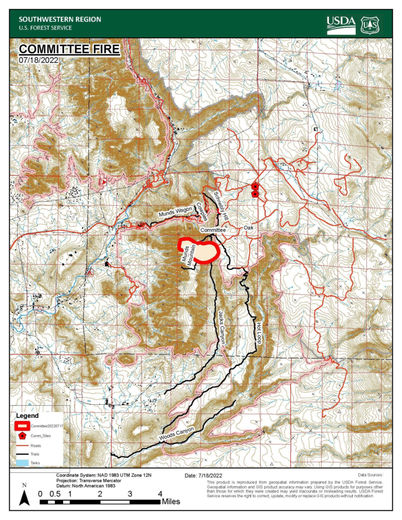
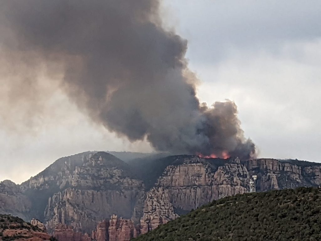
The fire is moving at a moderate rate of spread through heavy brush, and containment is at 0 percent. Sunday operations included ground and aerial work. Helicopters shuttled firefighters to the top of the mesa to conduct ground operations throughout the day in addition to performing bucket drops along the steep edges of Jacks Canyon.
Crews were safely removed from the fire area and aerial resources were grounded prior to the onset of heavy winds.
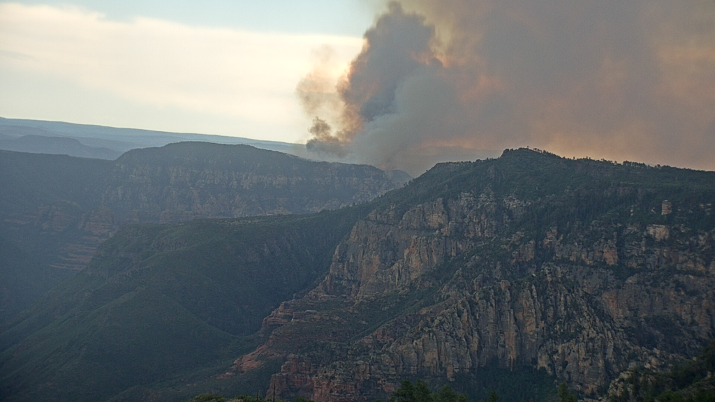
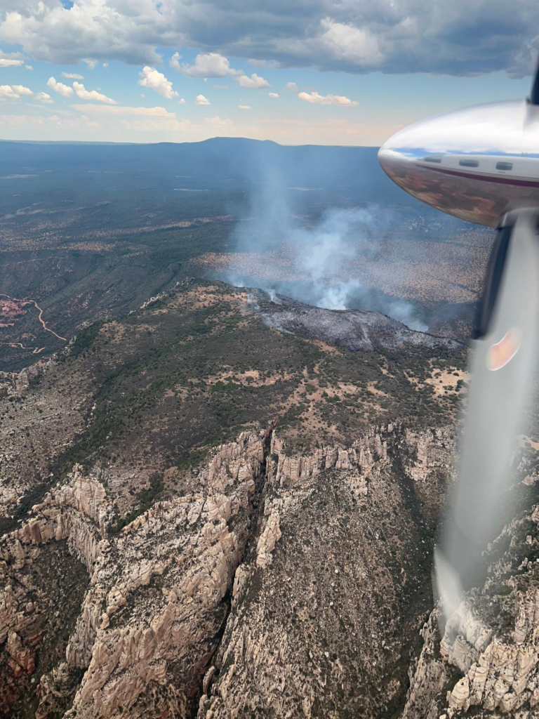
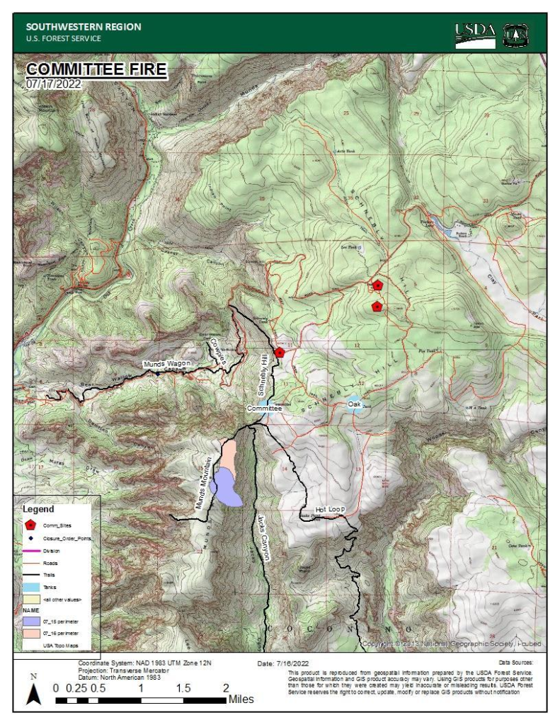
Smoke will continue to be visible from the Sedona area. No structures are threatened at this time.
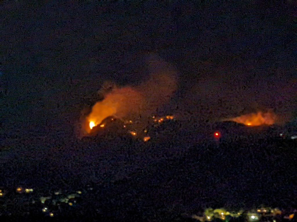
A closure order has been issued for various roads and trails in the fire area. Closures may update at any time.

The current 300-acre Committee Fire is significantly smaller than the 1,241-acre Cornville Fire in Cornville, the 40,855-acre Backbone Fire southeast of Camp Verde, and the 78,065-acre Rafael Fire that burned north of the Verde Valley atop the Coconino Plateau in 2021.
